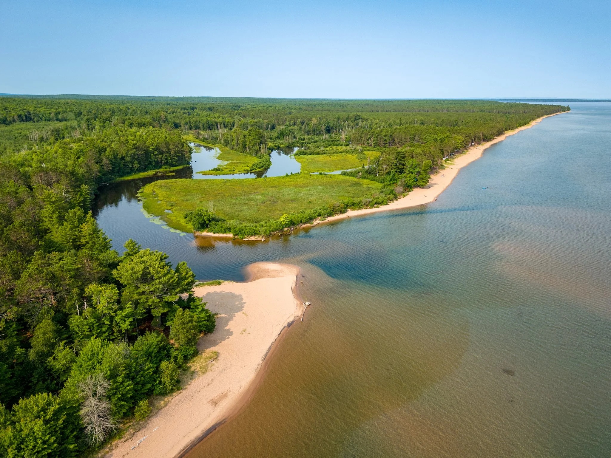
Aerial
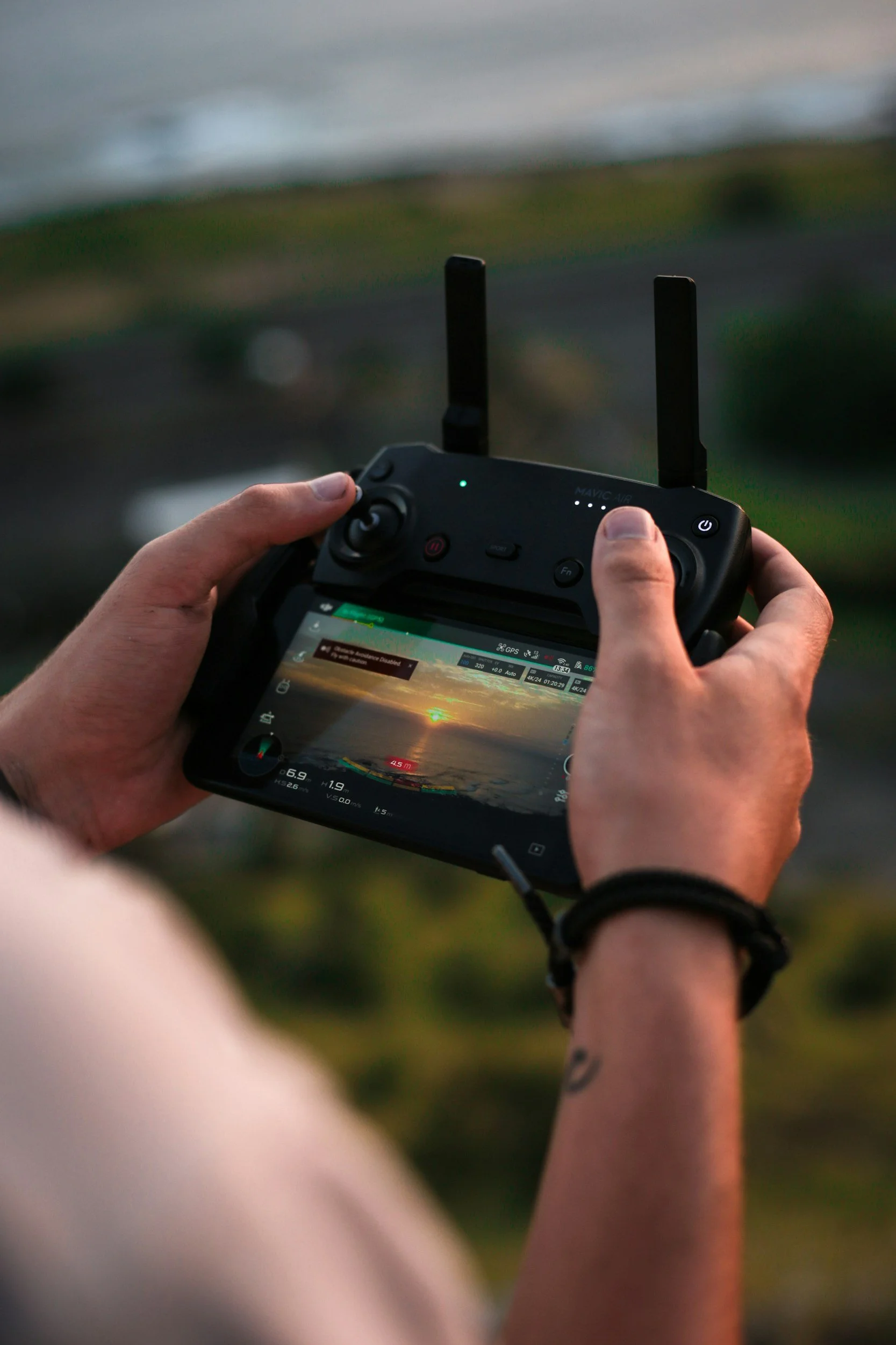
Safe. Experienced. Professional.
FAA Part 107 Commercial Drone Operator
Get the imagery you need from a drone operator who is first and foremost a photographer and cinematographer—and a pilot of manned aircraft.
Ryan’s experience spans many types of operations, from capturing architectural photo and video to gathering imagery for engineering and analysis purposes. He has conducted facade surveys of historic structures around the country, including in New York City and Detroit.
Safety is always the top priority when Ryan conducts a drone operation, and he is familiar with coordinating with the FAA to obtain waivers when necessary.
Drone Experience and CapabilitiesGet the Imagery You Need

Go beyond ground-level images and show how your structure integrates into the surrounding environment.
Architectural
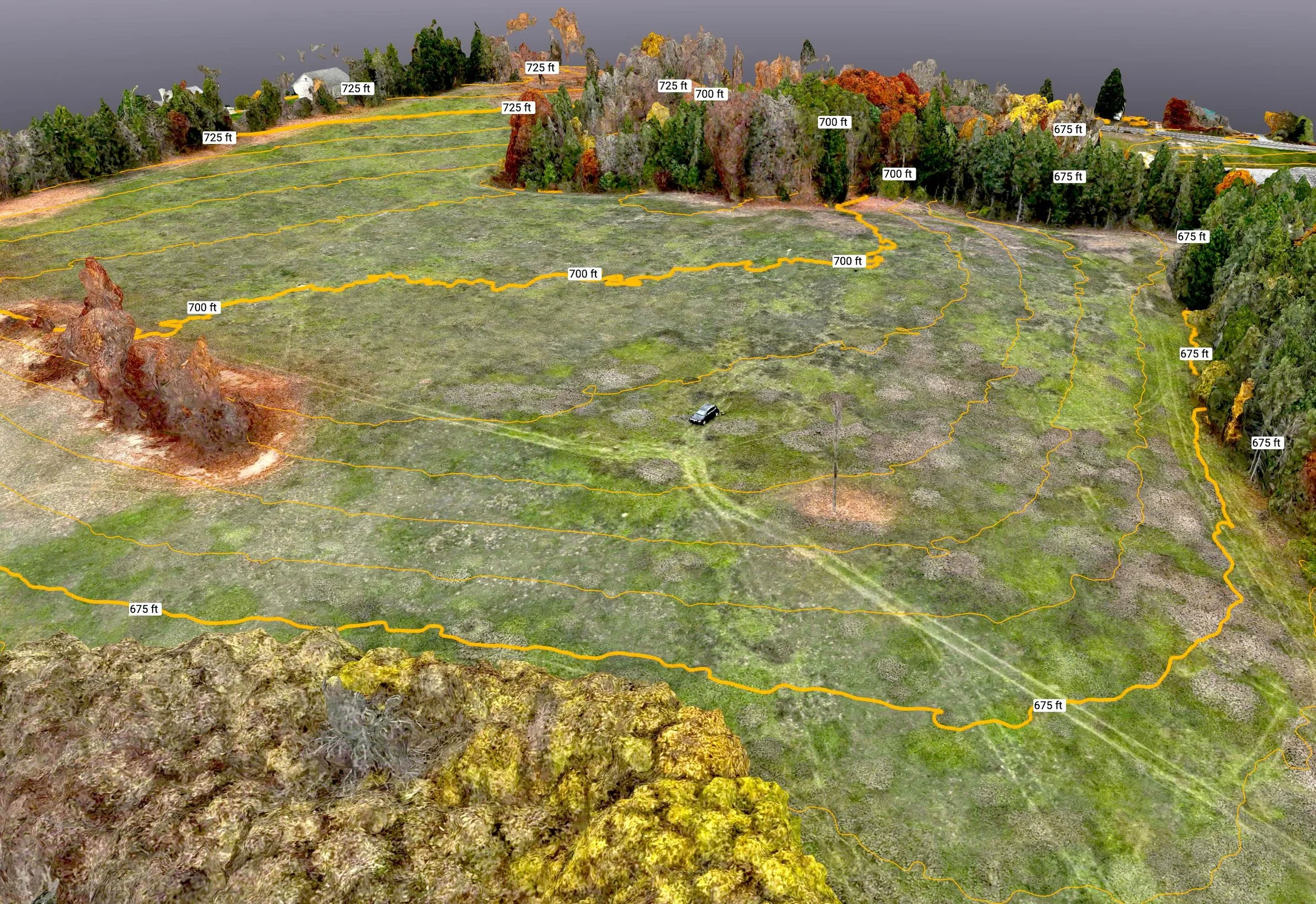
Understand your land with 3D spatial analysis powered by photogrammetry and GIS integration. Drone mapping can generate elevation models with contour lines, measure areas and volumes, and evaluate crop health with multispectral sensors. Ryan can integrate this imagery with GIS data to understand property boundaries, utility locations, and more.
Mapping
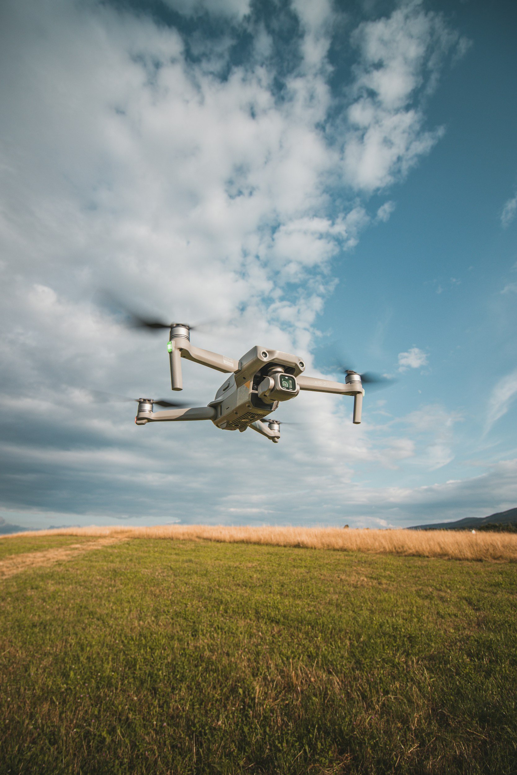
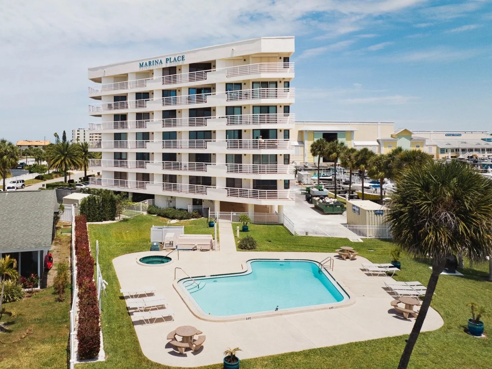
Get photos and videos that will make your listing stand out. Ryan prioritizes quality over quantity, bringing an attention to detail to your property that others don’t.
Real Estate

See distress conditions clearly and easily before you mobilize a swing stage or rope access crew. Ryan’s experience includes high-rises and historic structures in dense urban environments, including New York City and Detroit. In addition to clear, high-resolution images, photogrammetry can create a 3D model for importing into CAD.
Facade & Roof Evaluations
